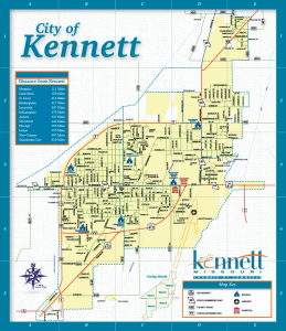
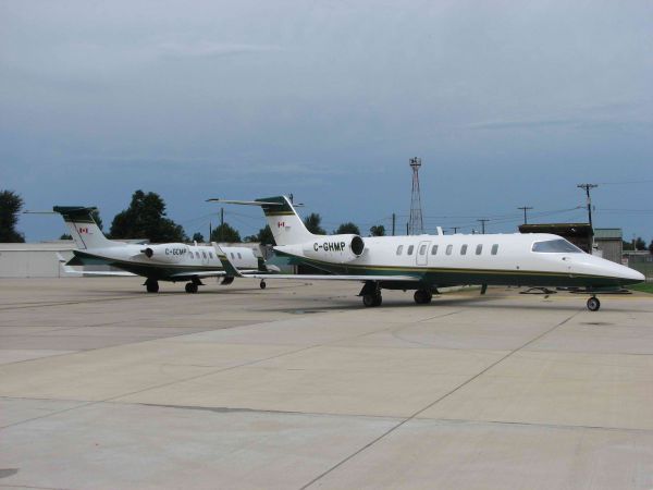
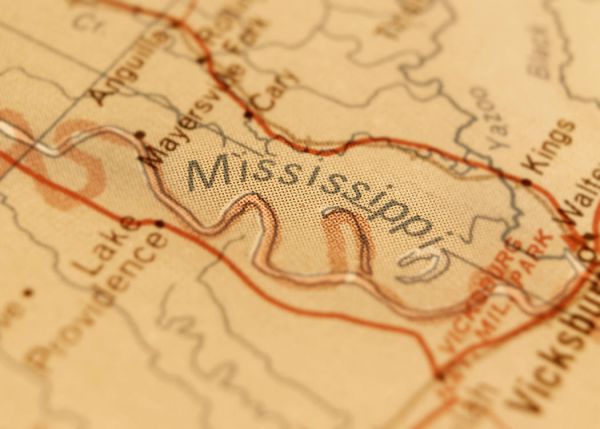
Kennett is located in southeast Missouri's Bootheel region on U.S. Highway 412. It is three miles east of Arkansas, 20 miles west of the Mississippi River and 21 miles from Tennessee. Kennett sits at the gateway to mid-America — easily within a day's drive of 76% of the nation's major markets. In addition, Kennett Memorial Airport's 5000 ft. instrument-approach runway and the recent four-lane expansion of U.S. Highway 412 are two major transportation gems for businesses and industries looking to expand or relocate to the area. In addition, Kennett attracts approximately 100,000 residents within a 30 mile radius of the community as a primary outlet for business and commerce.
Printed copies of City of Kennett and Dunklin County maps are available at the Chamber office free of charge.
| Distance from Kennett: |
| Memphis |
111 Miles |
| Little Rock |
189 Miles |
| St. Louis |
214 Miles |
| Birmingham |
317 Miles |
| Louisville |
337 Miles |
| Indianapolis |
375 Miles |
| Atlanta |
427 Miles |
| Cincinnati |
444 Miles |
| Chicago |
459 Miles |
| Dallas |
499 Miles |
| New Orleans |
507 Miles |
| Oklahoma City |
510 Miles |
|
Interstate Highways 55 North and South
Interstate Highways 40 East and West
U.S. Highways 412 East and West
U.S. Highway 62 (East/West)
MO Route 25 (North/South)
MO Route 53 (North/South)
MO Route 153 (North/South)
|
|


.jpg)